Applications 111
Enabling a Location source
Before you use Google Maps to find your location or search for
places of interest, you must enable a location source. To enable
the location source you must enable connection to a wireless
network and/or GPS satellites.
Important!:
The more location determining functions are enabled, the more
accurate the determination of your position.
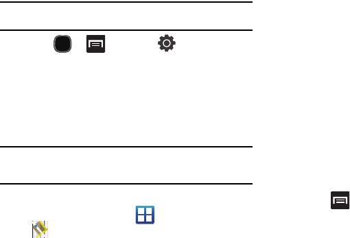
1. Press and then tap (
Settings
)
Location and security
.
2. Tap
Use wireless networks
to enable location determination
using nearby cell towers.
3. Tap
Use GPS satellites
to enable location determination
using GPS satellites.
Tip:
Location determination using GPS satellites is more accurate than using
cellular towers but requires a clear view of the sky and uses more battery
power.
Opening Maps
1. From the Home screen, tap (
Applications
)
(
Maps
).
2. Icons in the top row of the application access the following
options:
• Search Maps
: allows you to search for a place of interest.
• Layers
: allows you to switch map views:
–
Traffic
: (available only in selected areas) Real-time traffic conditions
are displayed over roads as color-coded lines.
–
Satellite
: displays Google Earth satellite image. Satellite images are
not real-time.
–
Terrain
: displays a topographical view of the terrain around the
current map location.
–
Transit Lines
: adds transit lines to your map.
–
Latitude
: allows you to see your friend's locations and share your
location with them.
–
My Maps
: displays a list of your preferred maps.
–
Bicycling
: adds cycling trails to your map.
•
Wikipedia
: displays any Wikipedia markers and info on your map.
My
Location
: when touched, shows your current location on the map
with a blinking blue dot.
• My Location
: when touched, the location displays on the map
with a blinking blue dot.
3. Press and select one of the following options:
• Search
: allows you to search for a place of interest.
• Directions
: displays navigation directions to a location from a
starting point.